
 العربية
Use of Cookies by this site is just to guarantee Ease of Access and better user experience while browsing. Continuation of your browsing acknowledges your approval for Terms and Conditions of this site and its use of Cookies.
Privacy PolicyWebsite belongs to an official government organization in the Kingdom of Saudi Arabia always ends with .gov.sa
Secured governments websites in the Kingdom of Saudi Arabia use Https encryption.

Mount Dhaka, situated in the quaint village of Al-Shifa, just south of the Taif region, stands as a prominent feature in the landscape, marking its presence as the largest mountain in the area with an elevation reaching up to 2,585 meters (approximately 8,481 feet). This mountain is not only renowned for its impressive height but also for the vibrant parks and gardens that dot its slopes, making it a popular destination for both locals and tourists seeking respite and recreation amidst nature. The lush greenery and well-maintained gardens offer a stark contrast to the mountain's rugged terrain, providing a perfect setting for picnics, leisurely walks, and family outings. The availability of recreational facilities, coupled with the mountain's natural beauty and cool climate, especially during the summer months, makes Mount Dhaka a sought-after retreat from the heat of the lower regions. The area around Mount Dhaka thus serves as a testament to the harmonious blend of natural splendor and human ingenuity in creating spaces that celebrate the outdoors and offer sanctuary to a variety of plant and animal life.
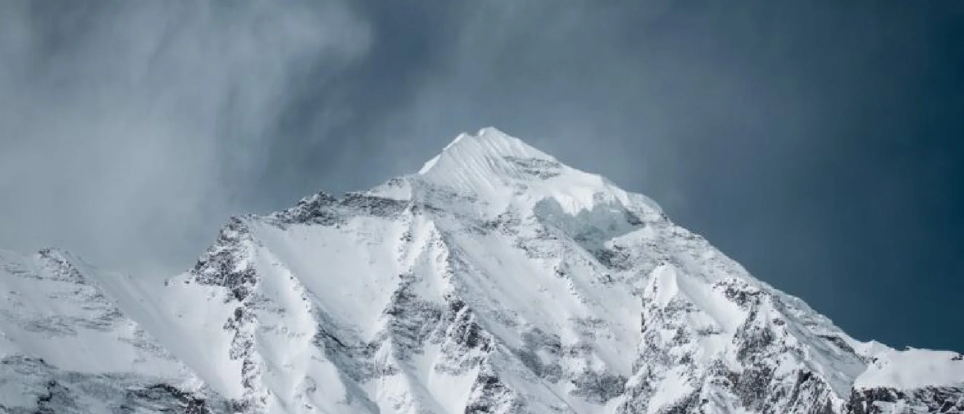
The history of Mount Dhaka, nestled within Al-Shifa village, intertwines with the broader narrative of the Taif region, a place of significance in both pre-Islamic and Islamic periods. Historically, the area around Mount Dhaka has been appreciated for its mild climate and fertile lands, making it a coveted retreat for nobility and commoners alike. In the pre-Islamic era, it was known for its lush landscapes that stood in stark contrast to the harsh desert surroundings, serving as a summer haven for the region's inhabitants. With the advent of Islam, Taif, and by extension Mount Dhaka, gained further prominence due to its proximity to Mecca and its role in various historical events. Over the centuries, it has been a site of agricultural development, benefiting from its abundant natural resources to cultivate a range of crops. The establishment of parks and gardens on Mount Dhaka in more recent times has transformed the area into a recreational and ecological paradise, reflecting a continued appreciation for its natural beauty and strategic importance. Today, Mount Dhaka not only offers a glimpse into the region's rich cultural heritage but also stands as a beacon of sustainability and conservation efforts in the face of modern challenges.
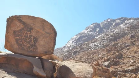
Jabal Daka is situated in the Asir region, near the city of Abha. It is part of the Sarawat Mountain range, which extends across the western part of the Arabian Peninsula.
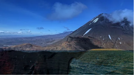
The mountain is renowned for its stunning natural beauty, characterized by rugged cliffs, deep valleys, and lush greenery. Its elevation offers panoramic views of the surrounding landscapes, making it a popular destination for tourists and nature enthusiasts.

The area surrounding Jabal Daka has a rich cultural heritage, with ancient villages, historical sites, and traditional customs. The mountain region has been inhabited for centuries, and its cultural significance is evident in the local architecture, cuisine, and folklore.
Explore the future of weather forecasting with the Anwaa app, featuring real-time alerts, advanced climate analytics, and personalized forecasts for unparalleled accuracy and preparedness.


Use of Cookies by this site is just to guarantee Ease of Access and better user experience while browsing. Continuation of your browsing acknowledges your approval for Terms and Conditions of this site and its use of Cookies.
Privacy Policy.png)
When you visit any website, it may store or retrieve information on your browser, mostly in the form of cookies. This information might be about you, your preferences or your device and is mostly used to make the site work as you expect it to. The information does not usually directly identify you, but it can give you a more personalized web experience. Because we respect your right to privacy, you can choose not to allow some types of cookies. Click on the different category headings to find out more and change our default settings. However, blocking some types of cookies may impact your experience of the site and the services we are able to offer.