
 العربية
Use of Cookies by this site is just to guarantee Ease of Access and better user experience while browsing. Continuation of your browsing acknowledges your approval for Terms and Conditions of this site and its use of Cookies.
Privacy PolicyWebsite belongs to an official government organization in the Kingdom of Saudi Arabia always ends with .gov.sa
Secured governments websites in the Kingdom of Saudi Arabia use Https encryption.

Mount Farawa, positioned within the Al-Harjah Governorate of the Asir region, commands attention as the second highest peak in the Sarawat Mountains, soaring to an impressive height of 3,004 meters (approximately 9,856 feet). This towering mountain is a significant landmark in the Asir region, not only for its majestic height but also for the rich biodiversity it harbors. The elevation of Mount Farawa contributes to a cooler, more temperate climate than the surrounding areas, fostering a unique ecosystem that supports a variety of plant and animal life, including species that are endemic to the region. Its slopes are adorned with lush vegetation, making it a vital green belt within the otherwise arid landscape of the region. The mountain is also a focal point for eco-tourism and hiking, attracting nature enthusiasts eager to explore its trails, experience its breathtaking views, and immerse themselves in the natural beauty and tranquility it offers.
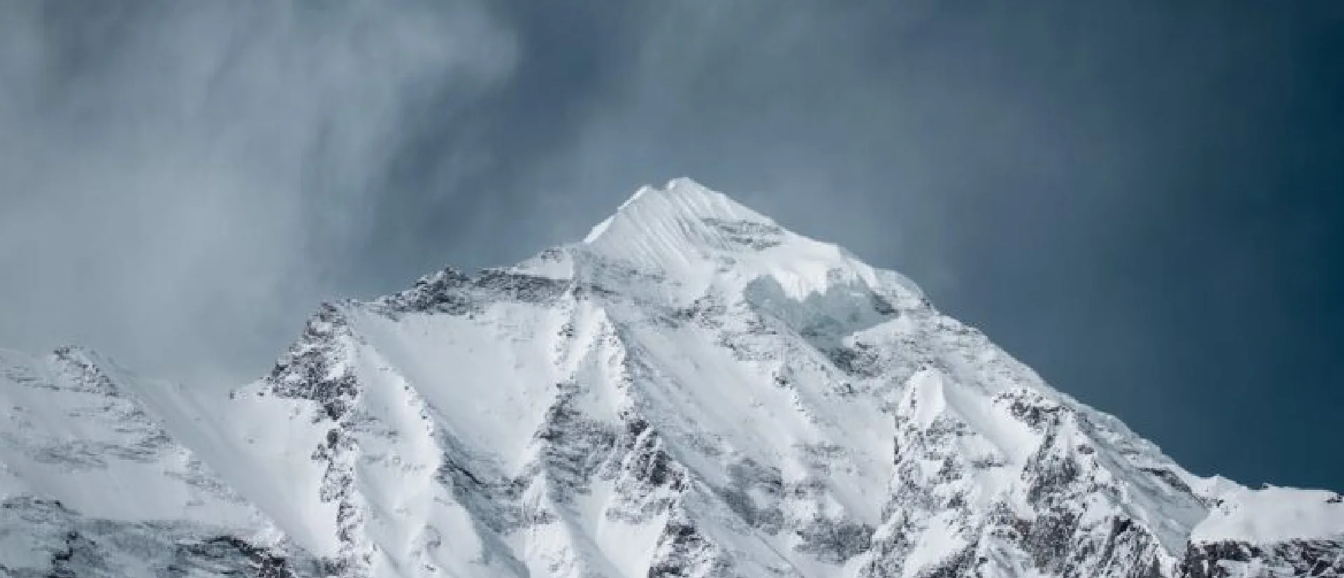
Mount Farawa's history is richly layered, shaped by both its natural features and the human interactions with its landscape. As the second highest peak in the Sarawat Mountains, it has been a prominent feature in the geographic and cultural narratives of the Asir region. Historically, the mountain's strategic vantage point and its resources have made it a crucial area for the local communities. Its abundant water sources, fertile soil, and diverse flora and fauna have supported human settlement and agricultural activities for centuries. The mountain has also played a role in the historical trade routes that traversed the Arabian Peninsula, serving as a landmark and shelter for travelers and traders. The cultural heritage of the Asir region, with its unique architectural styles and traditional practices, is deeply influenced by the mountainous terrain, and Mount Farawa embodies this connection between the environment and human culture. Today, while it continues to be a symbol of natural beauty, Mount Farawa also stands as a testament to the resilience and adaptability of the communities that have thrived on its slopes throughout history.
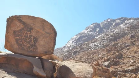
Jabal Farwaa is situated in the southwestern region of Saudi Arabia, near the city of Abha in the Asir Province. It is part of the Sarawat Mountain range, known for its rugged terrain, deep valleys, and diverse flora and fauna.
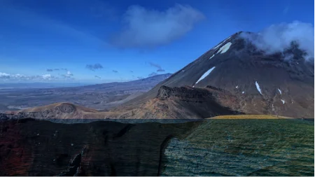
The mountain is renowned for its picturesque landscapes, characterized by rocky cliffs, verdant valleys, and captivating scenery. Its elevation offers panoramic views of the surrounding areas, attracting tourists and nature enthusiasts seeking outdoor adventures and stunning vistas.
The area surrounding Jabal Farwaa holds cultural significance, with ancient villages, historical sites, and traditional customs. The mountain region has been inhabited for centuries, and its cultural heritage is evident in the local architecture, cuisine, and folklore.
Explore the future of weather forecasting with the Anwaa app, featuring real-time alerts, advanced climate analytics, and personalized forecasts for unparalleled accuracy and preparedness.


Use of Cookies by this site is just to guarantee Ease of Access and better user experience while browsing. Continuation of your browsing acknowledges your approval for Terms and Conditions of this site and its use of Cookies.
Privacy Policy.png)
When you visit any website, it may store or retrieve information on your browser, mostly in the form of cookies. This information might be about you, your preferences or your device and is mostly used to make the site work as you expect it to. The information does not usually directly identify you, but it can give you a more personalized web experience. Because we respect your right to privacy, you can choose not to allow some types of cookies. Click on the different category headings to find out more and change our default settings. However, blocking some types of cookies may impact your experience of the site and the services we are able to offer.